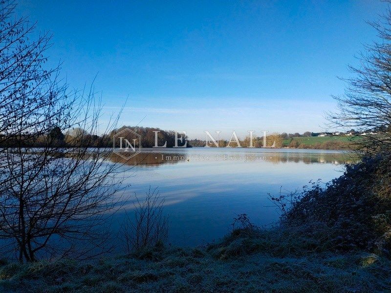
For sale Pond Pouancé 49420


- pond
-
- POUANCE (49420)
- 370,000 €
- Agency fees chargeable to the seller
- Ref. : 4514
- Surface : 22 ha
Ref.4514 : 54-acre Pond near Pouancé
Situated on the borders of Maine, Brittany and Anjou, this lake is in the Pays de Loire region, between Rennes and Angers, close to the medieval town of Pouancé. Châteaubriant is 20 km away, Angers 65 km and Paris 360 km.
Anjou Bleu stretches from the borders of Brittany to the Mayenne river. The region takes its name from its mining past. Indeed, the blue of its slate and schist, the stone used for building and especially roofing, adorns many of the houses in the west of France! The region is bursting with places to stay, places to eat and places to discover: this is Hervé Bazin country! The famous blue mine and its galleries will take you deep into the bowels of the earth, the Château de Challain-la-Potherie will reveal its neo-Gothic splendour, and the Château de la Lorie will plunge you into a grand, luminous pleasure residence. The Bleu mill-towers decorate the bocage landscape of Anjou Bleu and its region, where life is good.
Pouancé has a rich historical past, centred around its 13th-century castle. It originally grew up around the village of Saint Aubin. A hotly contested area between the Franks and the Bretons, Pepin the Great created the first march of Brittany to contain the Breton invasions. The second march was created by Charles the Bald, which included Pouancé. This gave rise to the first seigneury. A feudal motte was then created and the Middle Ages saw the town develop with its renowned forges and imposing fortress. The town is a real horse-riding centre, with the Centre d'Entrainement de Galop de l'Ouest (CERGO). Pouancé and the surrounding area boasts a wide range of quality restaurants and accommodation.
This 54-acre (22-hectare) pond is shown on the Cassini map drawn up between 1756 and 1815. It is crossed by a small river and has ‘closed water’ status. A bottom gate and a surface gate control the flow of water.
The pond is currently used to catch freshwater fish (carp, pike, roach, etc.) for restocking other ponds (harvesting live fish).
There is a reed bed at the end of the pond, ideal for hunting small game.
More information is available in the full dossier on request.
Information on the risks to which this property is exposed is available at: www.georisques.gouv.fr
Your contact

Siège
- +33 (0)2 43 98 20 20